With nobody to meet there was no need for a cafe start, so I ate a big bowl of yogurt and granola, downed my second cup of coffee and headed out the door into the filtered light of dawn.

Sun coming up over North Portland
The sunrise progressed through all its colors and phases as I spun my way North through Kenton and past Portland Meadows toward Washington for the first leg of the journey.

"Red sky in morning, sailor take warning."

Sky turning golden over Mt. Hood.
The I-5 bridge crossing offered beautiful views but was otherwise uneventful, which is the way it should be. I was tempted to stop into a cafe in Vancouver for a little warm-up before making my way East but resisted, knowing that I would need nearly all of the available daylight to finish the 110 mile loop. I swooped through town and down to the river's edge where I picked up the Evergreen Highway toward the lumber and paper towns of Camas and Washougal.

Evergreen Hwy.

I ran a redtailed hawk away from this meal of rabbit and hard lemonade. Breakfast of champions.

Downtown Camas.
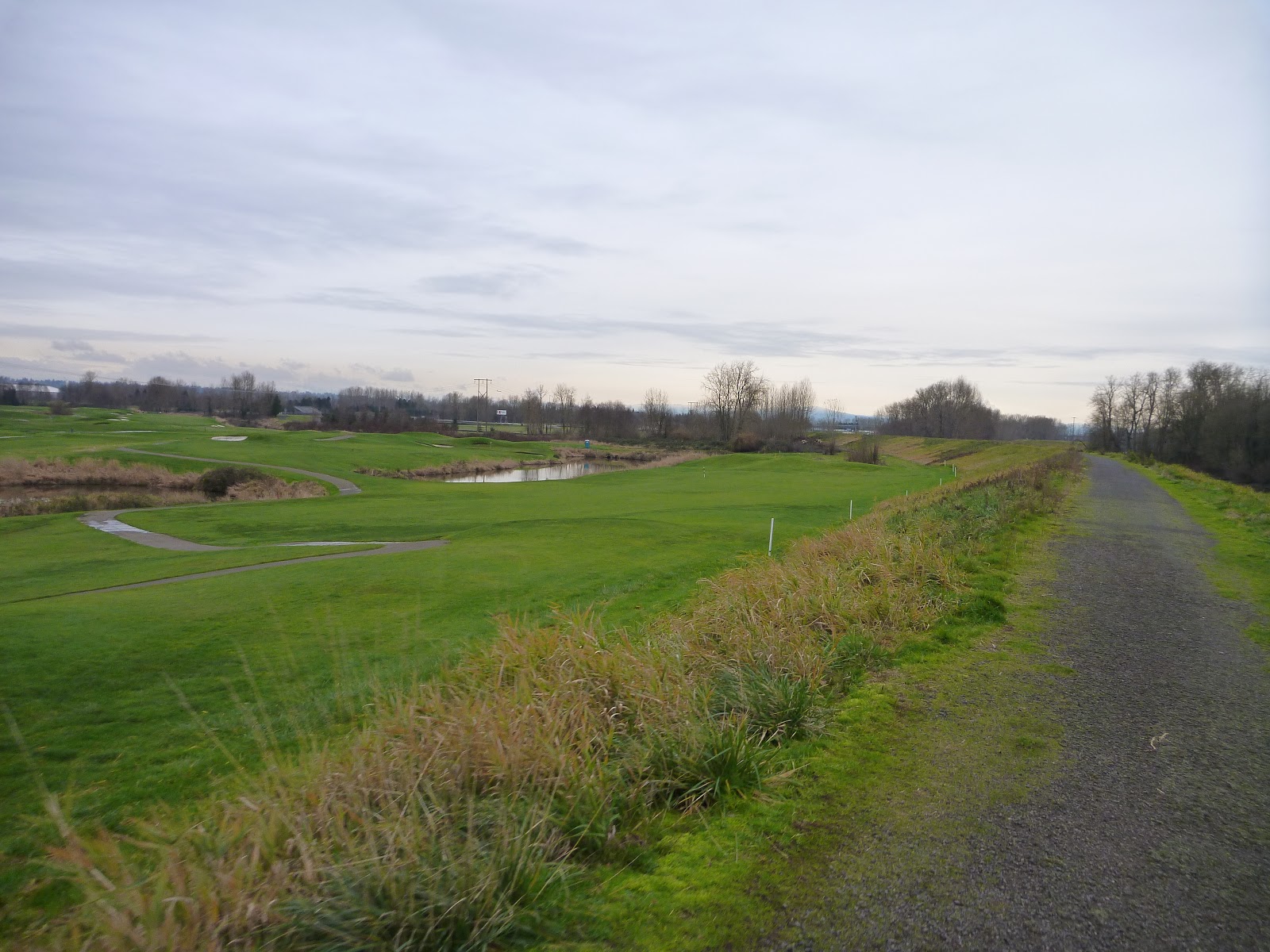
I cruised through Camas and on to Washougal where I turned left to head out of town on the Washougal River Road rather than the busier stretch of Evergreen Highway. The climbing along the river is gentle and the views are serene. Traffic was light, but I did come across the scene of a chilling accident where a tow truck was preparing to winch an overturned SUV out of the roadside drop-off. Yikes. I squeezed around the tow truck and focused on the frosted fields and rushing river rather than think about how that truck ended up on its roof fifteen feet down from road level and what might have happened to whoever was inside...

Frosty fields on Washougal River Rd.

Washougal River
As I climbed steadily higher, the frost on the roadsides began to get thicker and eventually became snow. The pavement was almost completely free of moisture and traction conditions were still good. When I made the turn onto Canyon Creek Road to aim back East and eventually descend into the Gorge, conditions got a little more wintry and I started to worry I might encounter conditions that my skinny, slick tires couldn't handle.

Snowy Shoulders

Winter on Canyon Creek Rd.
The scene was snowy and beautiful at the top of Canyon Creek Road but I had already encountered a few icy patches that gave me pause. A slip on the climb might have resulted in a nasty bruise but sliding out on the steep, switchbacked descent could have dire consequences. I pulled my rain jacket back on, zipped all my layers up to the collar and dropped in to the descent, braking when traction appeared generous so that I could coast over icy spots with minimal steering or deceleration. Fortunately, conditions were better than I had hoped with only a few dangerous sections where runoff had drained across the road, creating a narrow band of ice that could be gingerly negotiated. Traction improved as I lost elevation but I continued very cautiously through the sweeping corners. The last thing I needed was a hard crash less than a third of the way through the day. Despite the treacherous conditions, the Canyon Creek descent is a classic and a spectacular stretch of road that I look forward to revisiting in the Spring when the snows have melted.
After a left turn onto Krogstad Road the pavement narrows and winds through a few modest homes before making the final dip to meet the Evergreen Highway. My fingers had gotten chilled on the long descent so I stopped at the intersection to put on my extra-warm gloves and have a bite to eat.

Krogstad Rd.
I zipped up, clicked back into my pedals and set off eastbound against a steady headwind. The breeze wasn't too bad when I was sheltered by the trees but presented more of a test when the road took to more exposed sections of ground, like this stretch near Bonneville Dam.

Gorge-ous Scenery
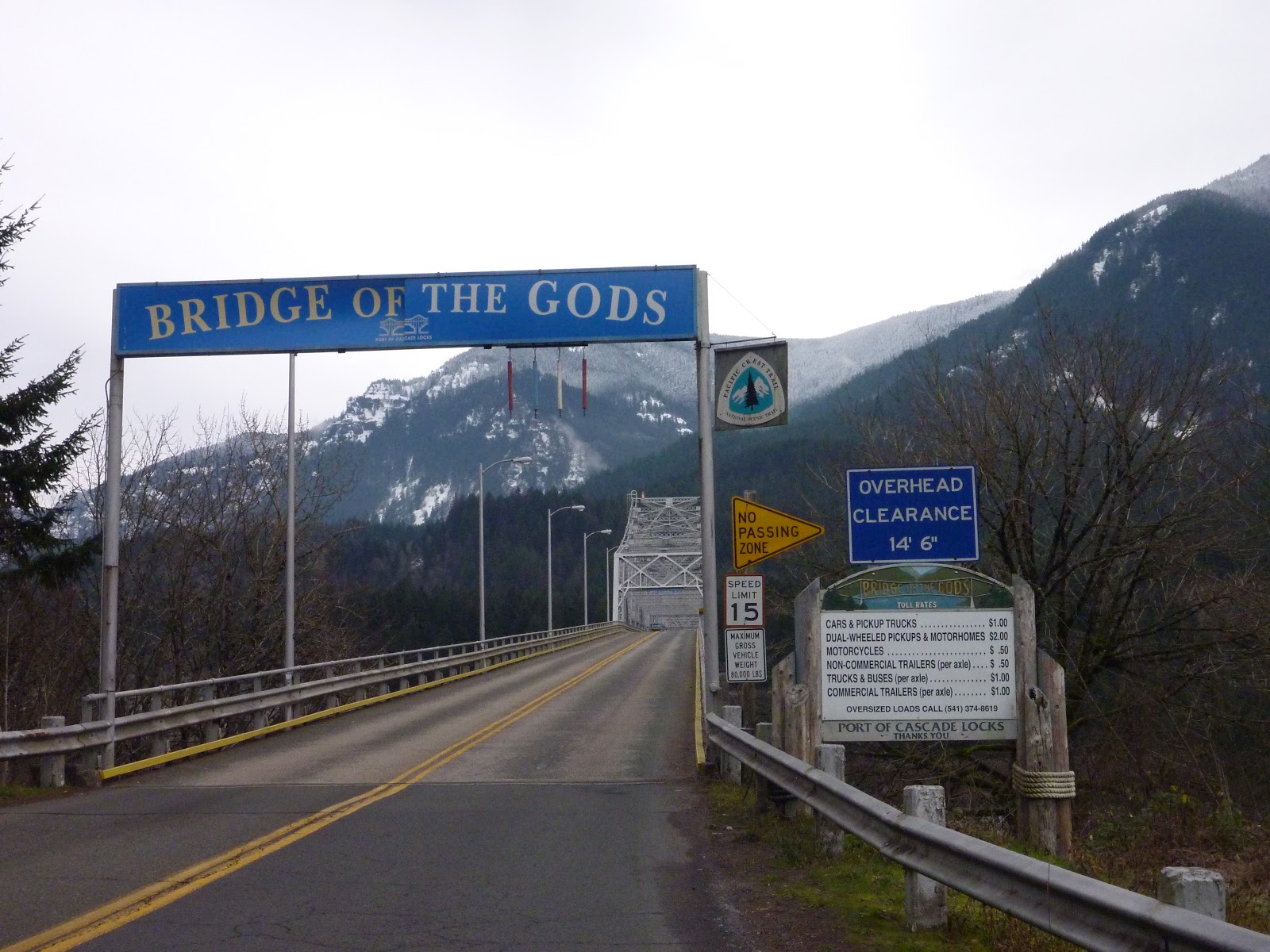
Fortunately, this was a day of relatively calm conditions for the Gorge, where winds regularly reach gale force and make the area a favorite of windsurfers and kiteboarders. I lowered my head to tuck under the gusts as best I could and plugged away at the pedals as I passed by Beacon Rock, Bonneville Dam and other landmarks on the way to the river crossing and turnaround point at the Bridge of the Gods.
Ready to be back in Oregon.

Here we go...

See-through deck grating is always a little unnerving. Don't look down!

Coming over the top!
The crossing went smoothy, auto traffic was light and the nice lady in the toll booth didn't charge me anything for the privelege of using the bridge. The Bridge of the Gods also represents the lowest elevation point of the Pacific Crest Trail where hardy thru-hikers descend to river level before climbing back up into the Cascade Range on their long journey.

I stopped at the foot of the bridge for a quick snack before turning back to the West and making for Portland along the Historic Columbia River Highway, sections of which have been decomissioned for motorized use and are now the playground of cyclists and hikers.

One stretch even offers cyclists its only westbound lane! That's VIP treatment!
After riding a couple of sections of highway-turned-bike-path and ascending a set of slick and icy stairs, I found myself on another section of old road built into the steep, rocky hillside that commanded a fabulous view:

Looking back across the river near Bonneville Dam.

The path clung to the hillside as it wound its way up.
I enjoyed the quiet and solitude of the nearly-deserted path, dodged fallen limbs, leaf litter and some nasty bumps where tree roots had pushed up the pavement for several miles before I eventually came to a road closure at a bridge crossing. Could this be the section of closed road that I had been warned about? I proceeded over the bridge to see just how closed this road really was.

Bridge looks okay...

Not really all that closed.
There was a clear and easy path around the highway barrier and rock pile, then up the well-packed gravel access to join I-84 for a stretch. I saw no sign of workers and slipped through easily.
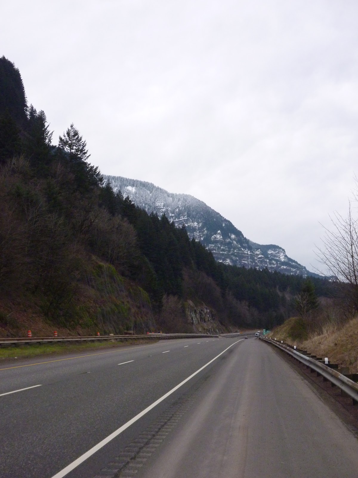
I-84, headed West
Fortunately, the shoulder is generous and surprisingly free of debris. Traffic was light this day, so the brief stint on the main highway passed with a minimum of stress. The views of snowy cliffsides didn't hurt either.

The stunning scenery continued after reconnecting to the Historic Highway on the other side of the interstate as I approached the waterfall zone that has made the Gorge and its Historic Highway so famous.

Now that's a sign I like to see!

Horsetail Falls looking bushy and full.

Sweet Tunnel.

Whoo!

Highway Closed
As I approached Latourell Falls, this sign reared its head. This closure looked to be a little more serious than the last one. This had to be the one I was warned about, but I wasn't keen on the idea of turning around and riding back on the interstate or taking the detour that Ward had recommended which would (of course) take me up a steep, unpaved climb that would end partway up Larch Mountain. Ugh. The view past the closure signs and orange barrels looked to be new pavement - perfectly smooth and easily passable - so I started up the long and winding climb to the Vista House, hoping I wouldn't be obliged to turn around partway up.

Here goes nothing...
The climb was long and arduous but the moderate grades of the pristine, unlined asphalt allowed me to maintain a comfortable cadence and the views through the trees provided extra motivation to reach the summit. When I reached the Vista House without meeting any obstruction I was sure I had gotten away scot-free.

Classic view from the Vista House looking East
I rolled around to the railing to take in the view and was surprised to see piles of construction materials around the parking lot where tourists' cars should have been. Hmm. Then I saw the working front-end loader and idling pickup on the road ahead. Uh oh. There was no way I was turning around now after laboring up the climb from the Gorge floor. The road looked easily passable as the smooth, new pavement continued past the work site, so I pedaled slowly but purposefully up the middle of the road, hoping the old "smile, wave and keep moving" tactic would get me through, that they'd be so surprised to see a skinny kid all alone on his bike in the freezing conditions that they wouldn't bother asking me to stop. I had no such luck. The pickup truck window rolled down and a sandy-haired young man probably about my age with a scruffy moustache waved me over.
"So you know this road is closed, right?" There was no way I could pull off the lie, so I played the vulnerable-road-user card and replied that I did but that "it looked safer than riding the interstate, so I thought I'd give it a try."
"So you know there's a $560 fine if they catch you up here, then?" Yikes. I whistled and turned my head. I had seen a sign about a fine, but figured I'd play it dumb on this point. Also, his use of the word "they" gave me the impression that he wasn't the one charged with enforcing the closure. "So you had better not come back up here," he continued.
"Oh, don't worry, I won't!" I replied, having no intention of returning until the air turned warm again and asked, "So can I sneak through?"
"Yeah, you'll be fine. Just don't come back before the road opens." Sweet! I thanked the guy and wished him a happy New Year as he rolled up his window and went back to his coffee. I slid onto the saddle and gave a wave to the man on the loader doing shoulder work as I rolled past, breathing a heavy sigh of relief at my good fortune.

Icicles on the rocks up above the Vista House.
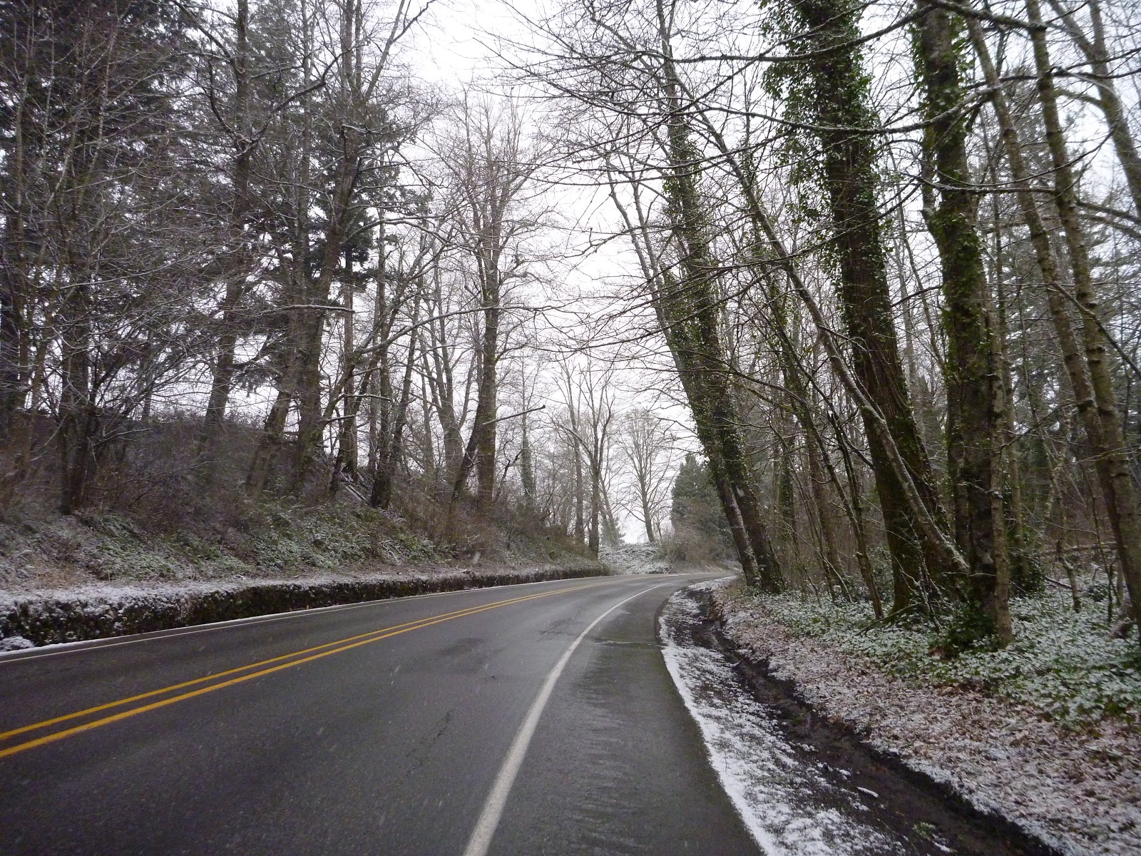
The fresh paving continued all the way up to where the road connected with the Crown Point section of the Historic Highway at the foot of Larch Mountain Road. I turned right, headed westbound and down toward the Sandy River and Troutdale. Not long after I made the turn, a light snow began to fall. Still plenty warm after the climb to the Vista House and having donned my rain shell for extra protection I steamed along the downhill faux-plat, spinning the big ring with the wind at my back, bouyed by the excitement of being one of the first people to sample the freshly repaved road and knowing I was only a few kilometers away from home and my 500km goal.

The snow was falling more heavily as I crossed the Stark Street Bridge over the Sandy, but this photo shows it rather poorly.
Snow began to accumulate on the roadsides again as I spun into Troutdale.

Slush and Traffic on Sandy
The snow fell in big, wet flakes that turned to icy slush in the bike lane as I made my way back into the land of red lights and commuter traffic through Troutdale and toward Gresham, where I turned to the South to pick up the Springwater Corridor.

Connecting to the Trail
By the time I reached the little cut-through to the Springwater the snow had stopped and the ground was mostly dry. I was glad to have gotten through the traffic of the suburbs and onto the bike path for the easy spin back to town.

Springwater heading West
I pedaled down the straight, flat expanse back toward South Portland, sat up to stretch my back and arms after several hours in the saddle and refueled myself for the final push.

Emerging from the Springwater into the Sellwood neighborhood always feels like a little victory.
Almost home now! I rode through Sellwood to the Springwater-on-the-Willamette trail and continued North toward home, smiling at the runners, dog walkers and bike riders out for a little exercise on the final afternoon of 2012.
Somehow - either through a route-planning oversight or a moment of forgetfulness when the cyclecomputer failed to tally distance - I found myself four kilometers short of the 178km tally I needed to complete the Festive 500. Ugh. There was no way that I'd allow myself to come up short after spending eight hours on the bike to finish this challenge, so I turned right a block before I would have arrived home and pedaled 2km out and 2km back through the neighborhood before stopping at Bridgetown Beerhouse for a celebratory bottle of delicious ale.

178km and the Festive 500 in the bag!

Road-weary but satisfied.
I coasted home with my jersey pocket weighed down by 22oz of dark, winter brew and pedaled as little as possible on the blocks between the beer store and our front door. I leaned the bike up with a grateful pat on the saddle for being such a steadfast companion and walked inside exhausted but pleased with myself for finishing the challenge on such a classic route. Now for a hot shower, a cool pint and a hearty dinner to ring in the New Year! But first, let's do the numbers!
Today's Totals
- 179.5km
- 8:24 ride time
- 1,524m climbing
- 4,879 calories
Cumulative Totals - Christmas Eve to New Year's Eve
- 501.7km/311.7mi (370km/230mi solo)
- 25:07 ride time (includes some stops)
- 3,493m/11,460ft climbing
- 13,975 calories (highly approximated)
Overall, I've experienced just about every Northwestern winter weather condition over the eight days of the challenge, ridden under sun and clouds, through rain and wind, over mud, ice and snow in temperatures ranging from well below freezing to the mid-forties and have enjoyed nearly every minute of it. A wise man once said that there is no such thing as bad weather for cycling, just bad equipment. I owe a sizeable debt to a few key pieces of gear that allowed me to finish the Festive 500 in a surprising degree of comfort and without which the challenge would have been horrendously painful if not downright impossible. More about these Festive 500 Enablers to come in a later post.
I'd like to thank my wife India for riding with me when she could, supporting me when she couldn't and understanding why it is that I feel the need to spend all day out in the rain on the bike when I could be at home with her. Thanks to my Mom for her support and encouragement in all my athletic endeavors and for the brilliant tights! Thanks to Rapha for the stories, motivation, inspiration and bib shorts. Thanks to all five of you who have read these stories and a hearty congratulations to anyone who has made it through all seven installments in this little mini-series without nodding off.
Here's to a Happy New Year and a toast to many more two-wheeled adventures in 2013! Cheers!